Zoe Weber · 31 August 2026
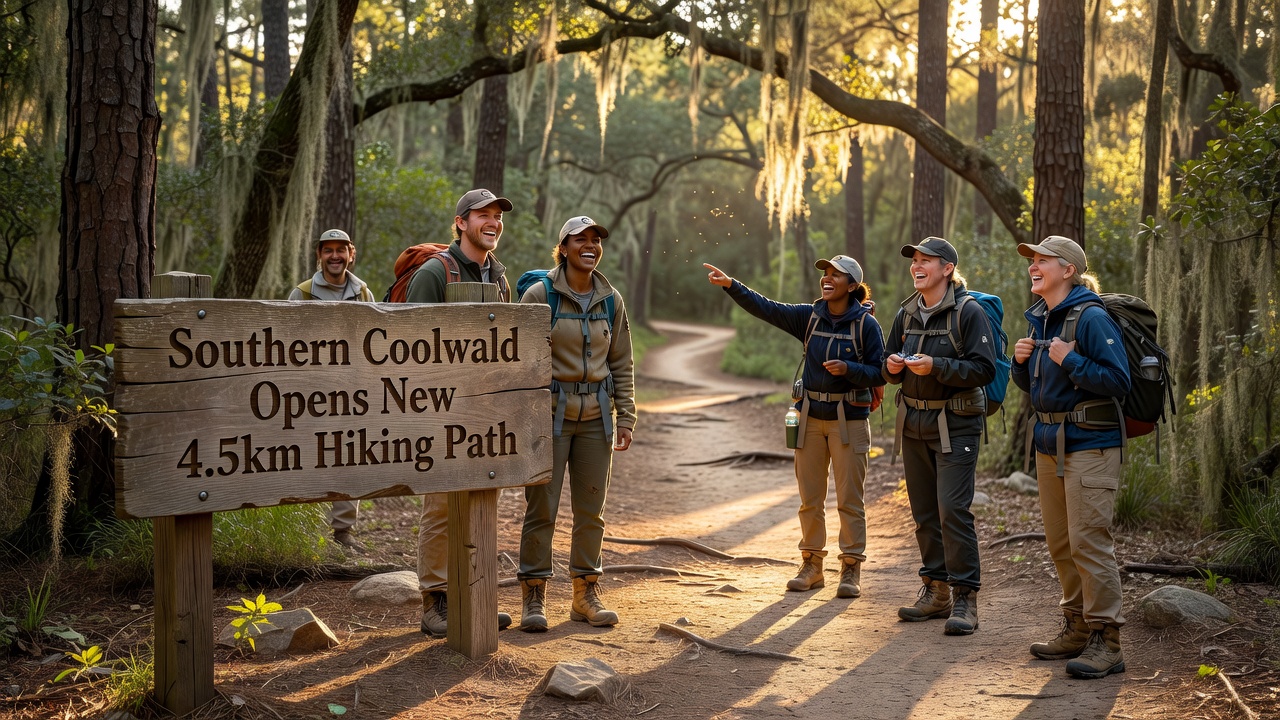
The Coolwald Forest administration has opened a new hiking path in the southern section of the forest. The 4.5-kilometer route improves connectivity between existing trails and provides additional options for visitors seeking moderate outdoor activity.
Route Specifications and Construction
The path starts at the southern boundary near the main access road and proceeds through mixed deciduous and coniferous woodland. It maintains an average width of 1.2 meters with a compacted gravel surface. Elevation changes remain under 80 meters throughout, making the trail accessible to most fitness levels. Installation of wooden directional signs and distance markers occurred at 500-meter intervals. Construction lasted five months and followed environmental guidelines that limited tree removal to fewer than ten specimens. All aggregate material originated from regional quarries to reduce transport emissions.
Rest areas consisting of two benches and a waste receptacle appear at the one-kilometer, two-kilometer, and four-kilometer points. Drainage channels prevent water accumulation during rainfall. The route terminates at a junction with an established loop trail that leads back toward the central forest visitor center.
Usage Guidelines and Ongoing Care
Forest rangers will conduct inspections twice monthly to address erosion or fallen branches. Hikers must remain on the marked surface to protect adjacent undergrowth. Dogs are permitted only on leads, and cycling is prohibited. Early data from trail counters indicate an average of 120 users per weekend day since opening. Local schools have scheduled guided walks for students to learn about regional flora. No fees apply for trail use, though parking at the southern entrance remains limited to 25 vehicles. Updates on trail conditions will appear on the forest service website as needed.