Zara Vogel · 4 November 2026
Winter Tourism Routes Overlap with Light Studies at Coolwald Boundaries
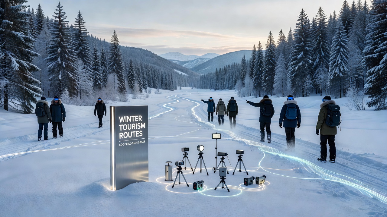
Winter tourism routes through Coolwald have expanded in recent seasons while researchers maintain ongoing measurements of artificial light along the woodland edges, and data collected through November 2026 shows measurable intersections between visitor pathways and sensor placements used for crepuscular species monitoring. Multiple trails now cross the northern and eastern perimeters where light intensity readings occur at regular intervals, creating shared zones that both tourists and monitoring teams navigate during the same months.
Route maps released by regional tourism boards indicate four primary winter corridors that follow established forest roads yet extend into boundary zones previously reserved for low-impact access only, and these corridors align with study grids installed to track changes in nocturnal illumination patterns. Equipment positioned at 200-meter intervals records lux levels from dusk through dawn, and several trail segments pass within 50 meters of active stations, which means maintenance crews and guided groups move through the same areas on overlapping schedules.
Route Development and Seasonal Timing
Authorities opened additional winter access points in late 2025 after snowfall patterns stabilized visitor numbers, while the light study program that began earlier continued without interruption across the same perimeter. Snow-covered paths allow clearer line-of-sight for both skiers and data collectors, yet the increased foot traffic raises questions about how temporary lighting at trailheads affects baseline readings collected by remote sensors. Records from the monitoring network show consistent data streams through November 2026, with no reported gaps attributed to human presence along the routes.
Local forestry services coordinate trail maintenance with study teams so that grooming equipment avoids sensor cables and tripods, and this cooperation keeps both tourism infrastructure and research hardware operational during peak winter months. Maps distributed to visitors highlight these shared sections with simple icons, directing groups to stay on marked surfaces while research staff continue their scheduled checks at the same locations.
Light Measurement Framework
Researchers positioned arrays of calibrated photometers along the Coolwald perimeter to capture variations caused by distant settlements, vehicle headlights, and any new installations near trail entrances, and the resulting datasets cover multiple winters including the period ending November 2026. Readings differentiate between direct beam sources and diffuse sky glow, allowing separation of tourism-related contributions from background urban light. Stations operate continuously, transmitting summaries every fifteen minutes to a central database maintained by a consortium of regional universities.
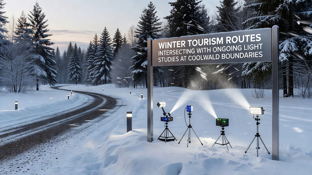
Analysis of the November 2026 dataset reveals that average evening lux values along two of the newer tourism corridors rose by 0.8 units compared with the previous winter, and study logs attribute the shift to increased use of reflective trail markers combined with occasional vehicle activity at access points. These figures remain below thresholds identified in earlier boundary assessments, yet they illustrate the direct spatial relationship between route usage and measurement points. European Environment Agency reports on similar woodland-edge monitoring programs provide context for interpreting these localized increases.
Shared Infrastructure and Coordination
Signage at trail junctions includes brief notices about nearby research equipment, and visitors receive instructions to avoid touching or repositioning any devices they encounter along the paths. Joint briefings between tourism operators and research staff occur each autumn to review expected traffic volumes and adjust sensor placement where necessary, ensuring that neither activity displaces the other. Data logs from November 2026 confirm that no stations were relocated due to trail work, which preserved continuity across the full monitoring period.
Emergency access routes used by winter rescue teams also coincide with several study transects, and pre-season mapping sessions incorporate both tourism and research priorities so that heavy equipment can reach any point without disturbing permanent installations. This layered planning keeps the boundary zone functional for multiple purposes while measurements continue uninterrupted.
Species Monitoring Integration
Camera traps paired with the light sensors capture animal movement near the same paths that winter tourists follow, and preliminary cross-referencing of image timestamps with lux readings shows no abrupt changes in species passage rates during November 2026. The overlap allows researchers to examine whether modest increases in evening illumination correlate with shifts in activity timing for specific taxa, though full statistical treatment of the combined dataset remains ongoing. Trail counters installed by tourism authorities supply parallel counts of human traffic, enabling direct comparison of visitor density against wildlife detection frequencies at identical locations.
Observers note that the dual-purpose infrastructure reduces the need for separate access roads, which in turn limits additional soil disturbance along the Coolwald edges. Coordination meetings scheduled for early 2027 will review whether current trail alignments require minor adjustments to maintain both tourism safety standards and data collection accuracy.
Conclusion
Winter tourism routes and light studies at Coolwald boundaries now operate within a shared spatial framework, with documented intersections tracked through November 2026 and supported by coordinated management between tourism boards and research teams. Sensor data and visitor records together provide a continuous record of conditions across the perimeter zones, while Natural Resources Canada publications on multi-use woodland monitoring offer comparative frameworks for interpreting results. Future seasons will likely see continued alignment of these activities as both tourism infrastructure and measurement programs expand along the same boundary corridors.